Steps
- Step 1
- The trail starts at the small chapel at the end of the village of Bezins Garraux (car park available).
- Step 2
- At the first intersection, turn left. Follow the track to the next fork, where a sign invites you to turn right. The path climbs in regular switchbacks, ""l'Eperon – 1031m"" on the IGN map.
- Step 3
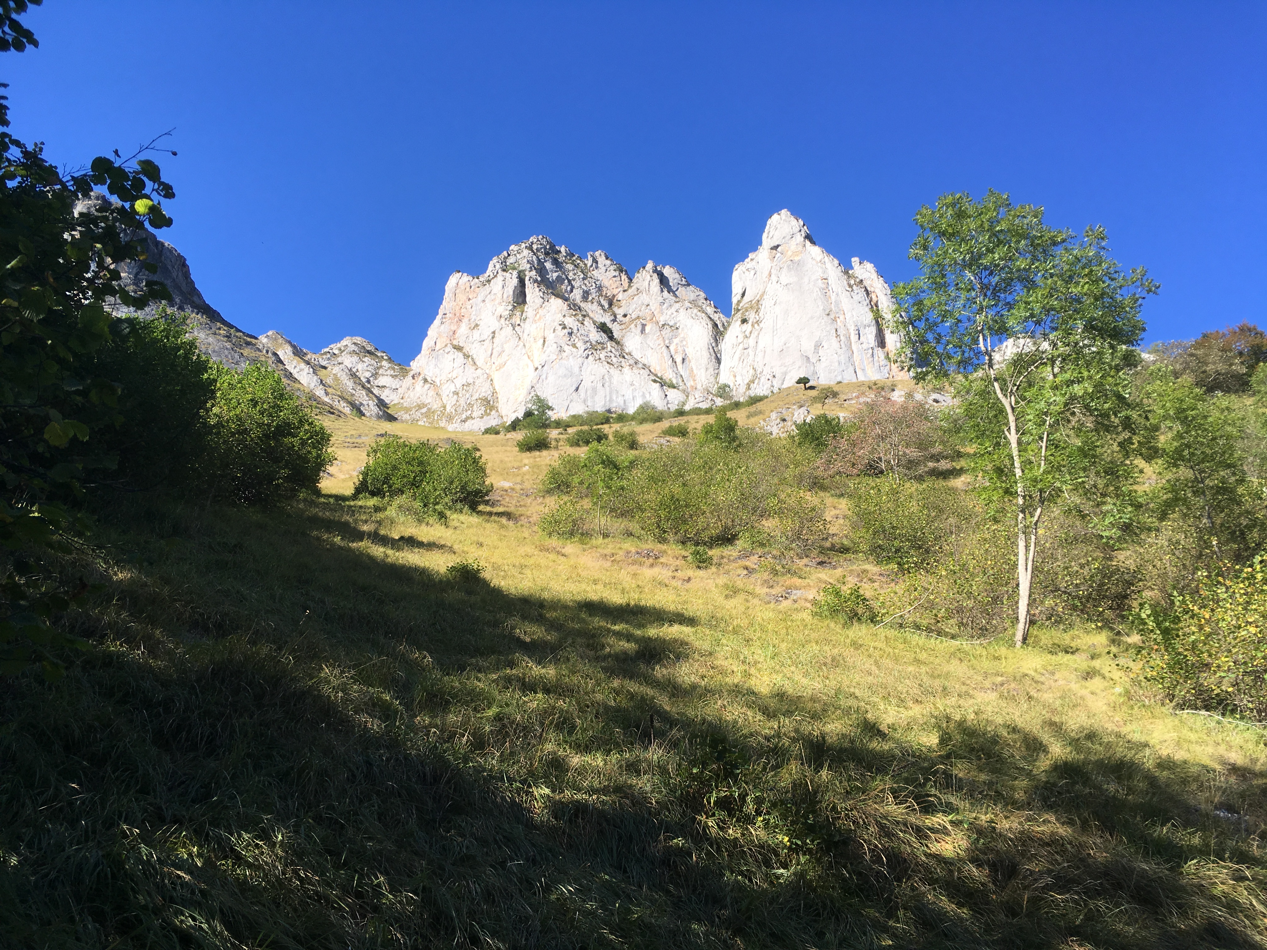
- You will pass under the cliffs of the Pic du Gar and cross a small pass.
- Step 4
- Shortly afterwards, you reach the final grassy slopes.
- Step 5
- Note that the Pic du Gar is not the one with the cross (Pic Saillant), but the one on the left.
- Step 6
- You begin your descent on the ridge facing the plain, then follow the path through the forest to the Col de Caube (1335m).
- Step 7
- Turn right, then a few hundred metres further on, follow the signs for "Bezins-Garraux". You will pass the Plansous hut (930m).
- Step 8
- Turn right and follow the GR86 back to your starting point.
Itineraire
3 – LE PIC DU GAR
Parking du village
31440 BEZINS-GARRAUX
31440 BEZINS-GARRAUX