CHEMIN DE LA LIBERTÉ MARIGNAC
Foot, Trail
Steps
- Step 1
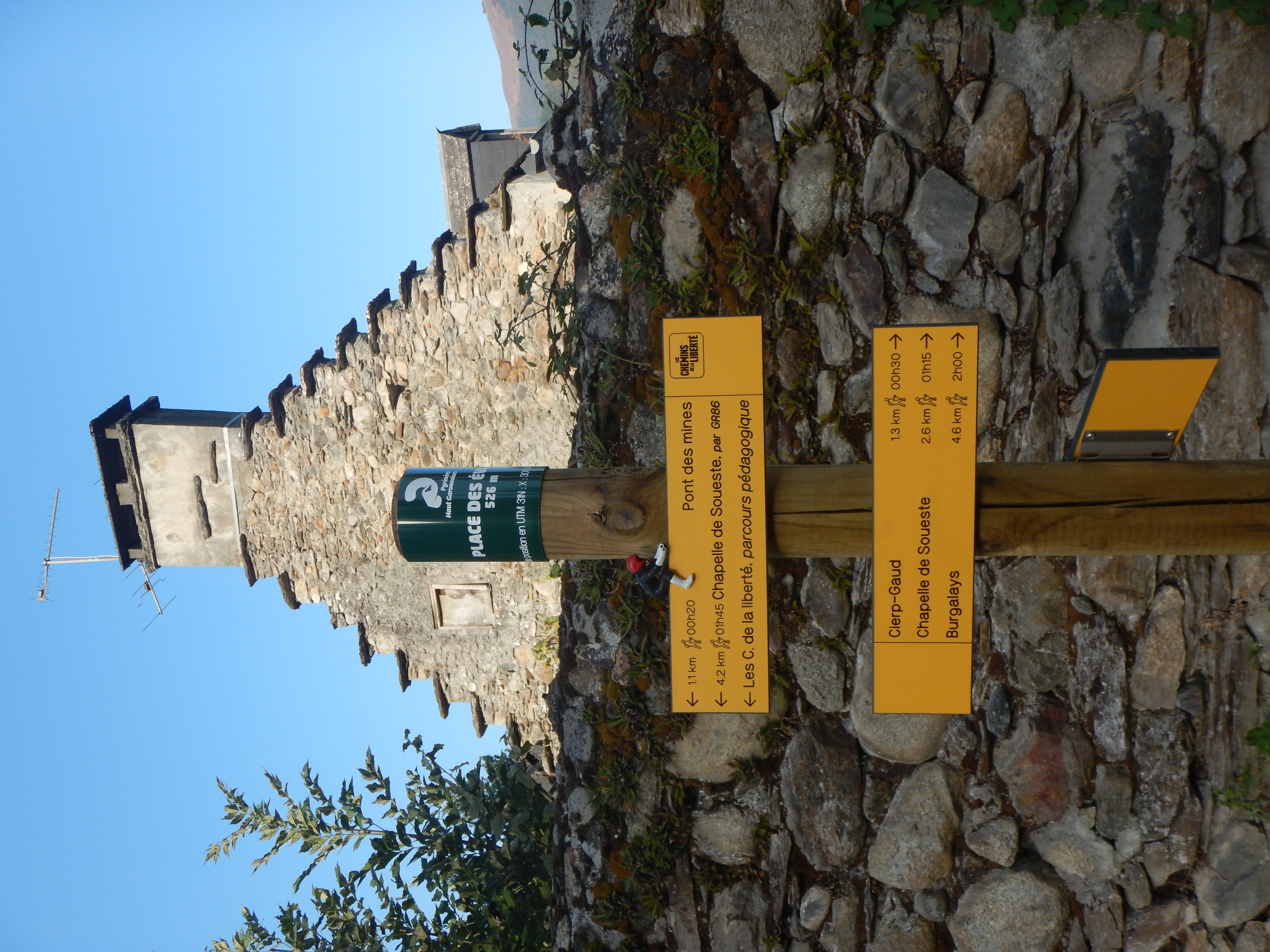
- Park your vehicle at Place des Évadés (526 m) with the memorial to those who escaped from France to Spain.
- Step 2
- From this point, stay on the small tarmac road to discover the numbered signs recounting the passage from France to Spain during the Second World War.
- Step 3
- After signpost 7, leave the GR86 and head right towards the Soueste chapel, continuing along the road to reach the Pont des Mines (600m). You are now entering the Burat-Palarquère forest.
- Step 4
- Follow the forest track. At the next junction, ""Ougarrol"" (650 m), follow the track on the left.
- Step 5
- The last two signs indicate the end of the route. You will arrive at the picnic area (with tables and barbecue facilities).
- Step 6
- Return by the same route to the Pont des Mines bridge.
- Step 7
- Turn right and follow the road alongside the clay pigeon shooting range on your right. After a short climb, you will reach the Saint-Martin chapel (580 m).
- Step 8
- Take the path down into the forest, alongside a property. You will arrive at the Saint-Roch junction (522m) in the village of Marignac.
- Step 9
- Turn left to reach Place des Évadés.
Itineraire
CHEMIN DE LA LIBERTÉ MARIGNAC
Place des Évadés
31440 MARIGNAC
31440 MARIGNAC