LE COL DES PRADETS AU DÉPART DE LA GARE DE LUCHON
Foot, Trail
Steps
- Step 1
- From the Luchon station car park, cross the road to the impasse de la Liberté.
- Step 2
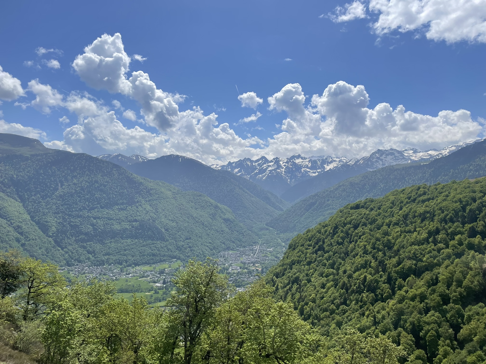
- Steep at first, the path levels out slightly afterwards and you climb up into the open, with a beautiful view of Luchon.
- Step 3
- After a twenty-minute climb, path no. 61 leads off to your right. It winds steadily upwards through the woods. On the way up, take advantage of a few gaps in the trees to admire the scenery.
- Step 4
- Higher up, you reach the Col de Pradets (1090m). Magnificent views of Luchon and the 3000 Luchonais. Continue along the path towards Cazarilh.
- Step 5
- You pass a pigeon farm and then the path descends to Cazarilh (971m). There is a gate at the first houses. Remember to close it after you have passed through. Turn left and go through the village.
- Step 6
- Before beginning the descent towards Luchon, the sculpture "Le randonneur" (The Hiker) by Françoise Lasvènes invites you to take a contemplative break.
- Step 7
- At the first junction, turn left. After a very short climb, the descent resumes into the woods.
- Step 8
- At the next junction, turn left following signposting 53 "Luchon Barcugnas".
- Step 9
- You're back where you started.
Itineraire
LE COL DES PRADETS AU DÉPART DE LA GARE DE LUCHON
Avenue de Toulouse
Gare de Luchon
31110 BAGNERES-DE-LUCHON
Gare de Luchon
31110 BAGNERES-DE-LUCHON