87 – REFUGE SAINT MARTIN
Foot, Trail
Steps
- Step 1
- The hike starts from Chemin de Lapale (a few parking spaces available), where you will find a sign indicating the start of the hike and the red and white markings for the GR78 trail. –
- Step 2
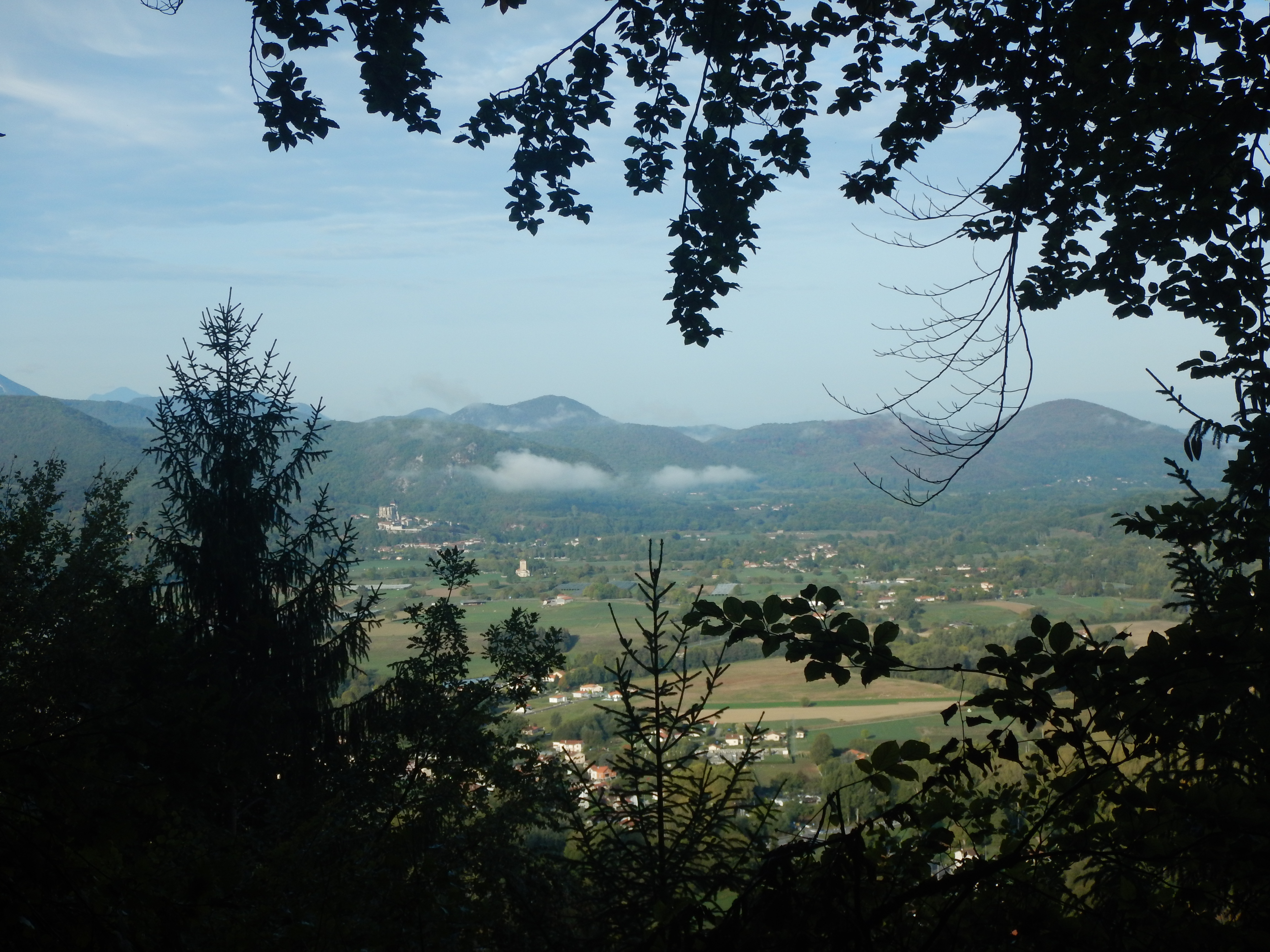
- At the signpost (Chemin de Lapale – 570m), stay on the main track. On your right, admire the beautiful view of Saint-Bertrand de Comminges.
- Step 3
- Stay on this well-marked track to reach the Pré du Ges (signpost – 710m) with a large renovated shelter in a meadow, where you may encounter horses.
- Step 4
- Cross over and follow the marked trail to reach the Ges de Tridos (signpost – 770m), and then Paloumères (signpost – 800m). Take the path on the right, then left, following the markings. The uphill path leads you to the final trail to reach the Saint-Martin refuge.
- Step 5
- Continue along the forest track to reach the fork ""Piste forestière de Mont de Galié – 900m"", take the track on the left that descends.
- Step 6
- About 500m further down, stay on the track (yellow markings), the GR78 goes off to the right towards Génos.
- Step 7
- Further on, a signpost marked ""La Barre – 790m"" indicates the path to Barbazan. Take the grassy path on the left that climbs uphill.
- Step 8
- A long downhill track takes you to the Paloumères junction, follow the sign for ""La Hage de Garnère"" on the right.
- Step 9
- Turn right onto the track towards La Hage de Garnère as far as the signpost – 720 m – indicating Barbazan, 2 km away.
- Step 10
- Turn left and you will come to the signpost ""Chemin de Lapale – 570m"" seen at the start of the hike.
- Step 11
- The route ends on the same path, signposted in white and red.
Itineraire
87 – REFUGE SAINT MARTIN
Chemin de Lapale
Pk sortie du village dir. Sauveterre
31510 BARBAZAN
Pk sortie du village dir. Sauveterre
31510 BARBAZAN